Import a Site Image
Use a floor plan, aerial image, venue layout, parking map, or any other visual reference.
Transform site images into editable maps, organize spatial information, and build clear plans for people, objects, vehicles, and facilities.
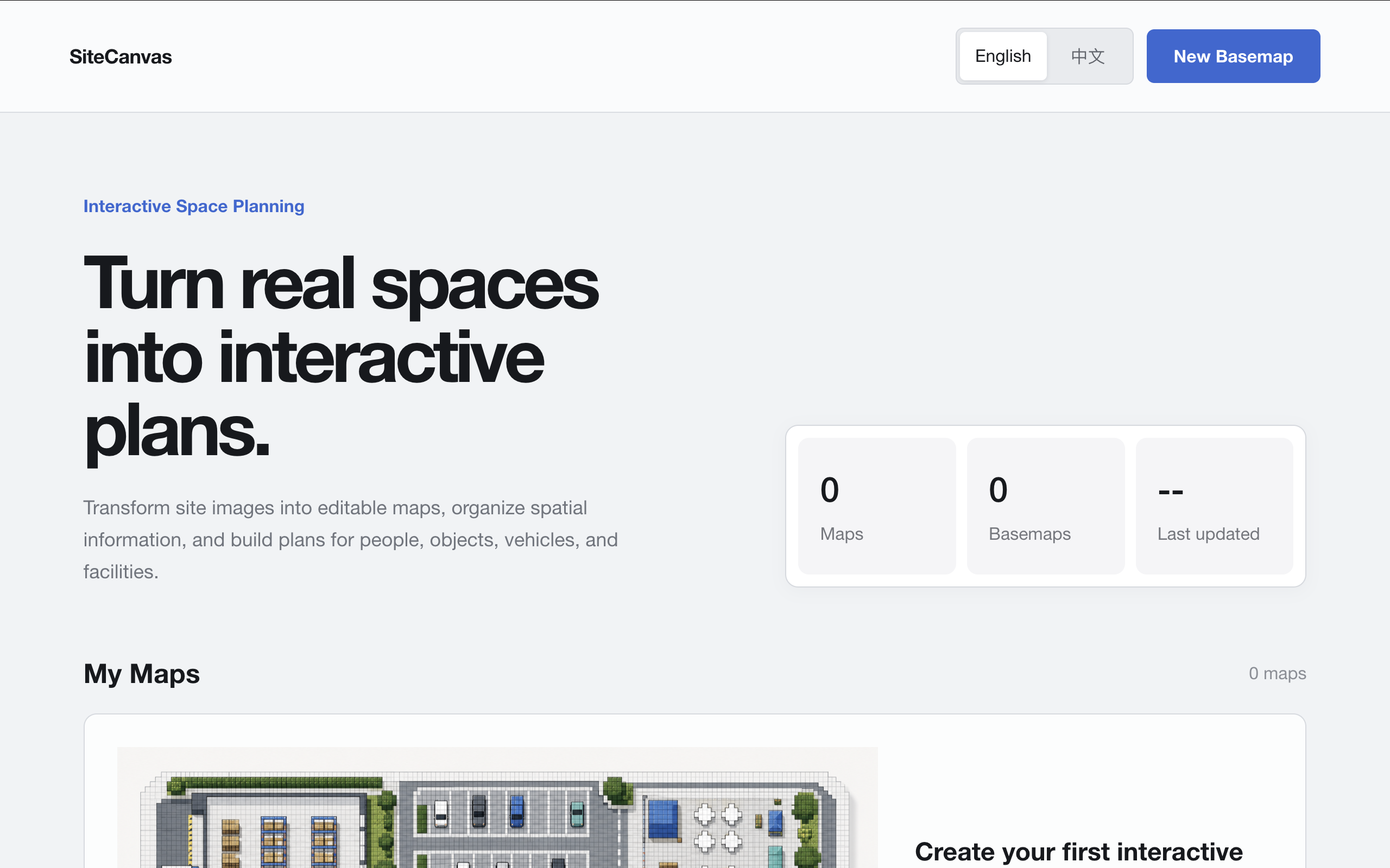
Real screens from SiteCanvas — importing an aerial image, converting it into a pixel grid, then shaping it into a working plan.
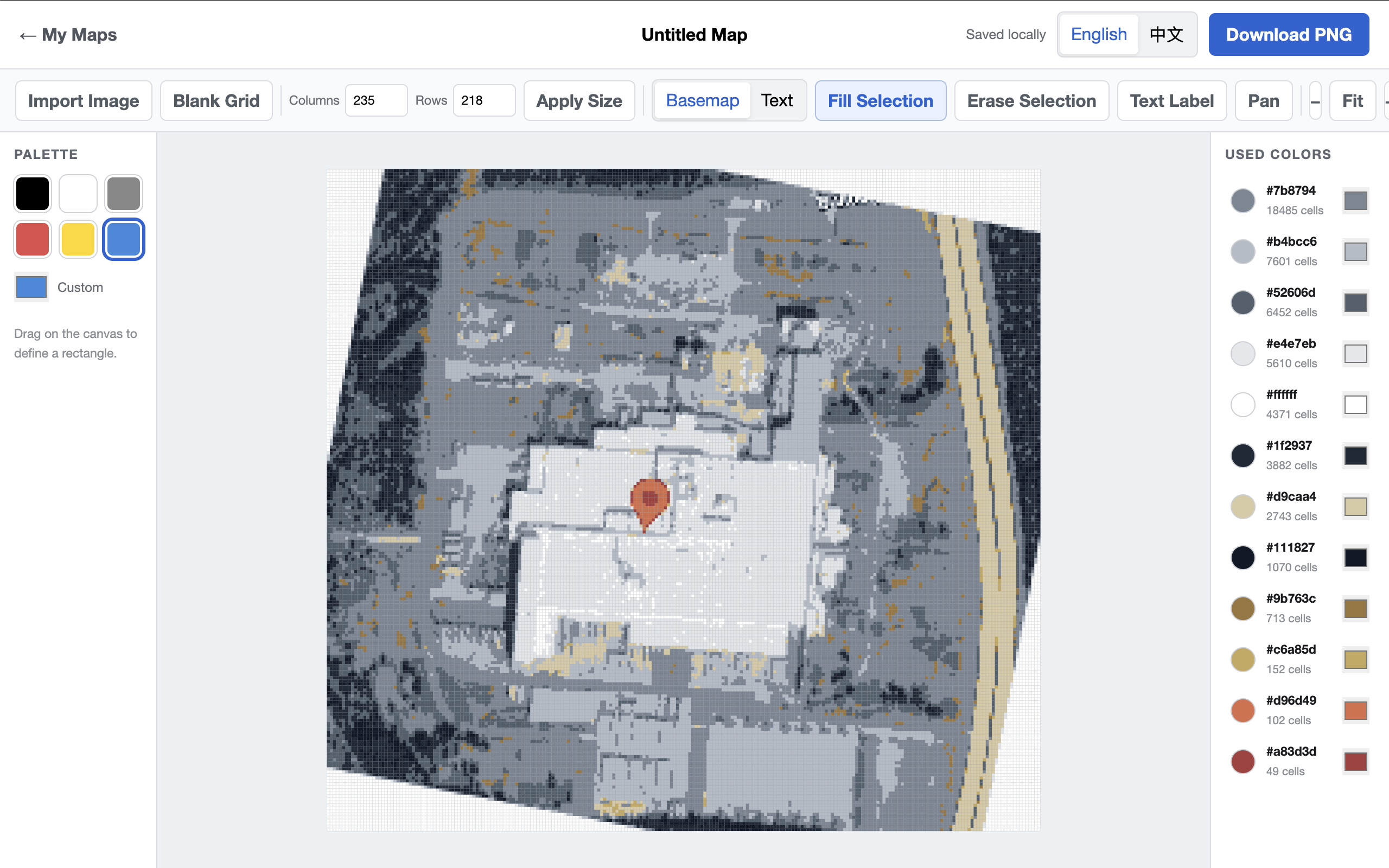
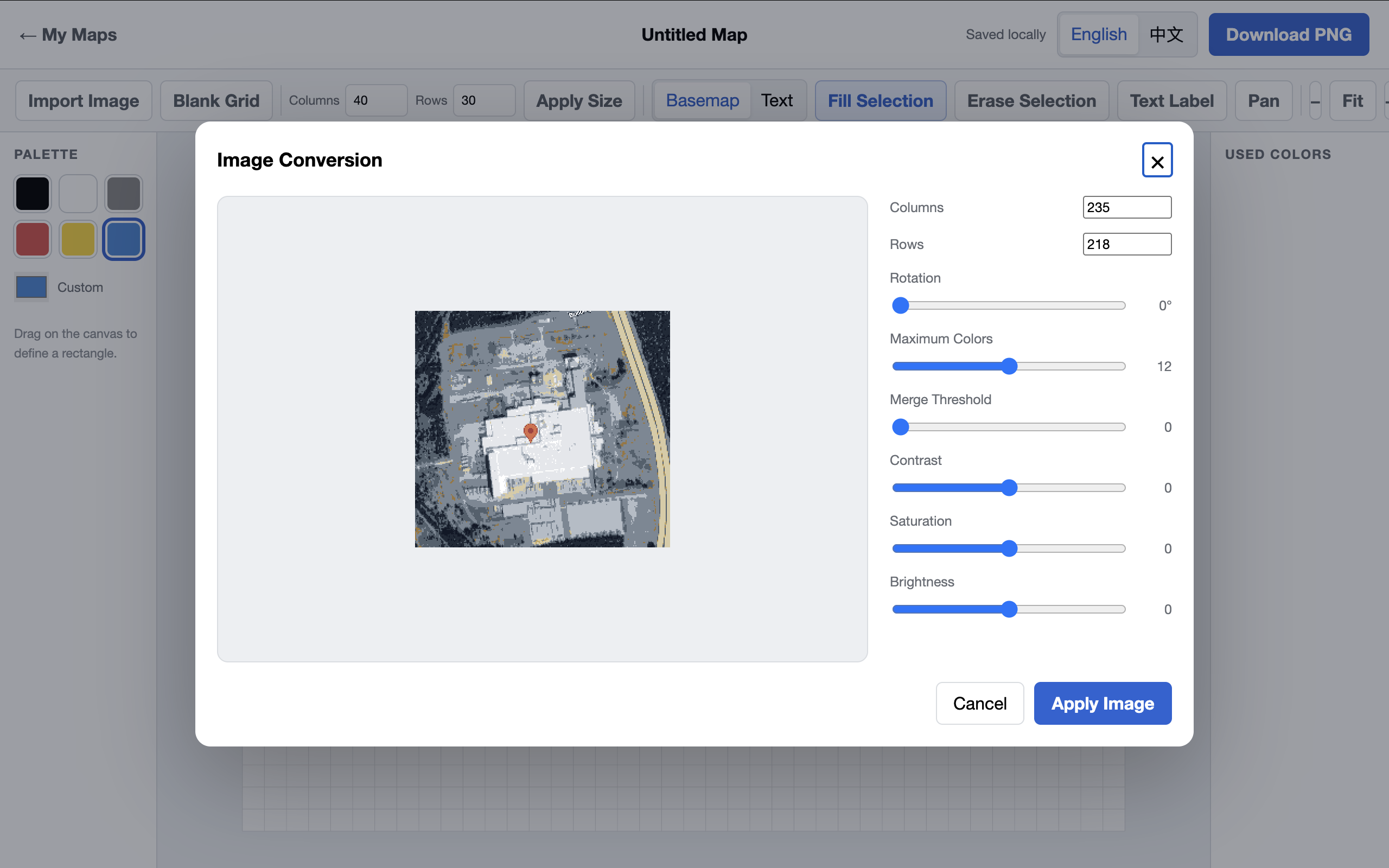
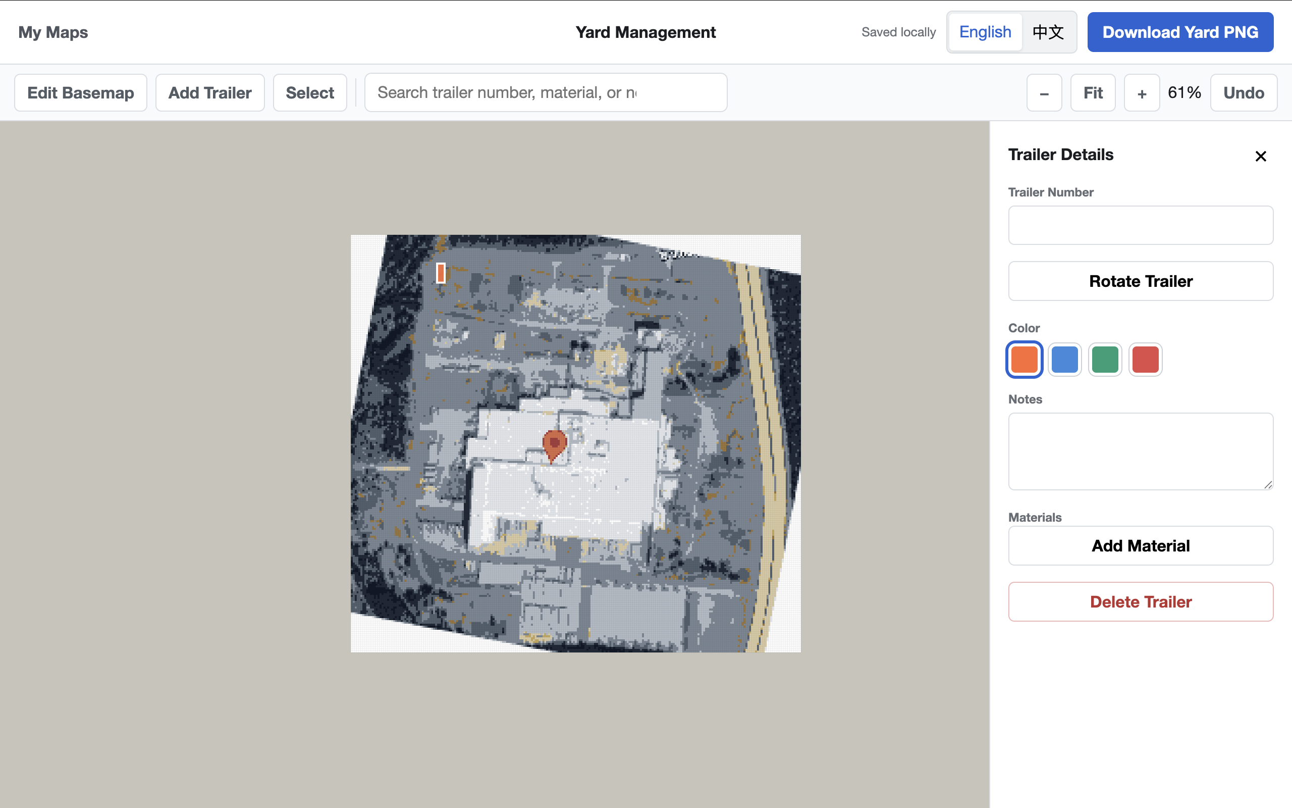
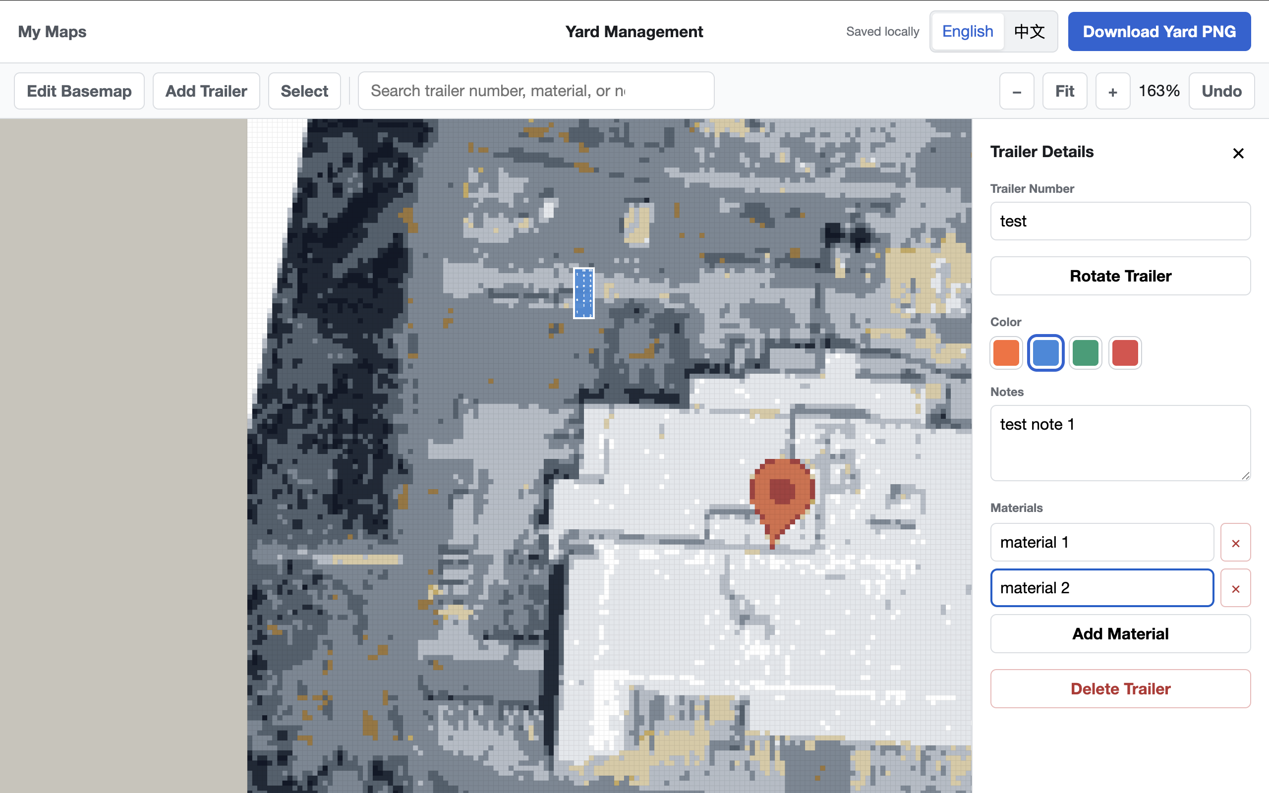
Start with a familiar site image, convert it into a clear pixel grid, then shape it into a plan that is easy to understand and share.
Use a floor plan, aerial image, venue layout, parking map, or any other visual reference.
Convert the image into an editable pixel-based basemap with a consistent visual language.
Refine colors and labels, then download a clean PNG for operations, planning, or communication.
Yards are one use case. SiteCanvas provides a broader planning surface for any real-world environment that benefits from a clear, editable map.
Organize warehouses, production floors, campuses, and shared work areas.
Plan booths, seating, service zones, visitor routes, and temporary layouts.
Map stalls, traffic lanes, loading areas, vehicle zones, and access points.
Create visual references for people, objects, equipment, and workflows.
The independent demo runs entirely in your browser. No account, subscription, or database connection is required.
Open the tool and begin creating a basemap immediately.
Your demo projects stay in this browser so you can return and continue editing.
Export the complete map on a clean white background for easy sharing.
Import an image, shape the pixel grid, and download the result. The free demo keeps everything local to your browser.
Try SiteCanvas Demo